Tucked into southeastern Utah is the Dark Canyon. It is south of Canyonlands National Park and the Needles district, on the east bank of the Colorado River. It is an interesting mix of canyons and federal land management agencies, with the BLM, Forest Service, and Park Service each owning a little bit of the canyon and the surrounding systems.
It is roughly 37 air miles long from the watershed crest at 9055 ft to the downstream end emptying into the southern end of Cataract Canyon at 3740 ft. The watershed of the Dark Canyon alone is roughly 264 square miles and covers approximately 162,000 acres. There are at least a half dozen canyons out at the end of the road, which go in various directions down to the Colorado and are all completely separate from the Dark Canyon system. The end of the road was approximately 82 miles from Blanding, Utah, 81 of which is dirt. This is the beginning of the vacation flora. I think it will take about a decade, at least.
 |
| Upcanyon from the Sweet Alice Hills |
 |
| The light changes. |
 |
| The road less traveled, heading southwest. |
 |
| The Henrys, the last named mountains in the US. |
 |
| Across the woodland to the edge of Youngs Canyon, an access to the canyon bottom. |
 |
| Looking into Bowdie Canyon, one of the other canyons in the system. |
|
|
 |
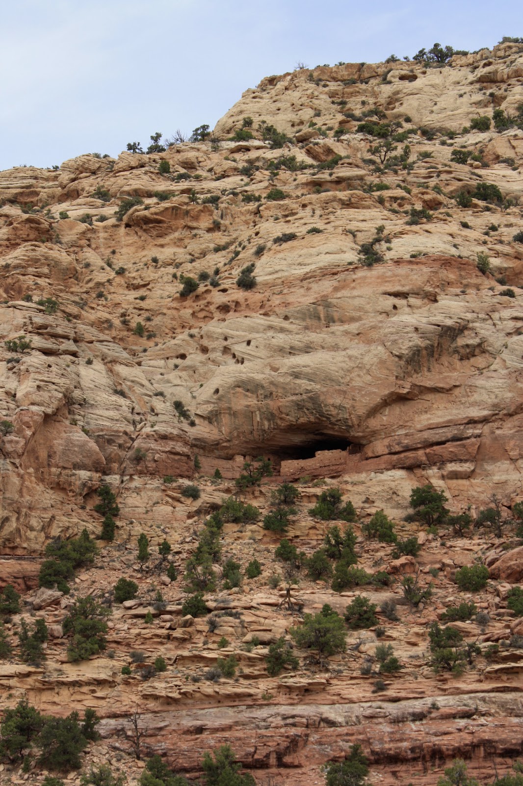
| A massive ruin about three hundred feet off the floor of Fable Valley, a north trending canyon that ultimately becomes part of Gypsum Canyon and then down to the Colorado. |
 |
| View into the heart of Bowdie Canyon. |
 |
| The heart of Bowdie Canyon (the middle of the shot above), the canyon bottom was not visible and appeared to be a slot canyon that went down several hundred feet. |
 |
| The exhausted and hot Xochi resting after running and jumping about in a side canyon to Bowdie. |
 |
| A species of Ranunculus at one of the springs. |
 |
| Cirsium rydbergii about to bloom. |
 |
| Bromus inermis in light. |
 |
| Lichen on rock. |
 |
| Close up with shade. |
 |
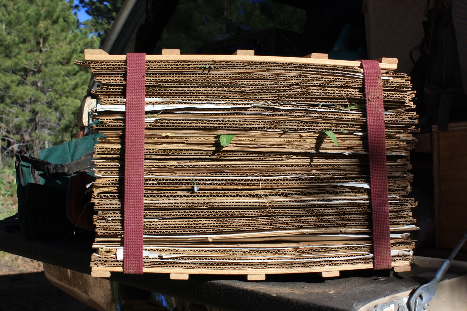
| The goal: a full press. |